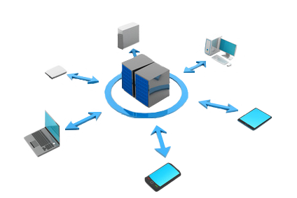
IMAGIS offers its own map technology named mapGO for every company or institution which intends to implement solutions connected with maps in its own applications or www service. Platform architecture allows for implementation of various map functionalities which meet individual needs of our customers. mapGO platform consist of the following programmistic components: mapGO API, mapGO Serwer Map, mapGO Router, mapGO Geokoder, mapGO Antygeokoder and mapGO Komiwojazer. Depending on a project, one may use all the components or individual components according to the needs.
 mapGO API
mapGO API is a simple programmistic interface which offers access to a set of various map functionalities available within mapGO platform. The above include: displaying maps, searching for and showing addresses, calculating the routes between the points indicated which are the shortest or the fastest, centring a map, changing a map scale, adding icons to the map, drawing objects on the map (regions), searching for and demonstrating POI, displaying/hiding various layers and many others. By using documentation with examples of applying mapGO API, it is easy to implement functionalities connected with maps in any application or www service.
 mapGO Map Server
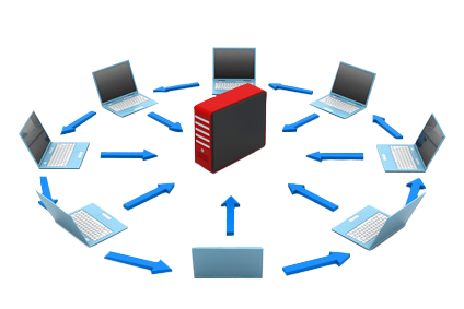
Serwer Map component is a www server operating under the control of Linux system which allows for downloading and displaying a map covering an area with geographical coordinates defined in advance. Upon having specified a longitude and latitude, this component provides access to map blocks relevant for the parameters outlined by means of mapGO API script, which are PNG files of 250x250 pixels.
 mapGO Router
mapGO Router component performs functionality which consists in routing between two points or more. The route will have a starting and a finishing point, and possibly intermediate points. mapGo Router accepts points in a form of geographical coordinates (longitude and latitude). Routing may be performed by means of one of the following criteria: distance (the shortest route), time (the fastest route), or combined criteria, i.e.: with consideration of distance and time criteria which are weighed appropriately (optimal route). Additionally, while routing, the following restrictions may be applied: avoiding unsurfaced roads, avoiding charged roads and avoiding ferry crossings.
 mapGO Geocoder
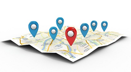
mapGO Geocoder component is a solution which will return information on geographical coordinates for a given address or postcode. It includes a geographical base data in which specific geographical coordinates are assigned to every address and postcode. For instance, mapGo Geocoder for the following address: Warszawa, Górczewska 216 will return the following geographical coordinates (20°54’31” E and 52°14’31” N). mapGO Geokoder operates under control of Linux system, and it may be evoked by API JavaScript, or by API REST.
 mapGO Komiwojazer
mapGO Komiwojażer component is an element of mapGO platform intended for companies and institutions which want to optimise the routes of their cars and thus obtain considerable savings on transport costs. mapGO Komiwojażer enables sequencing the group of points which a terrain worker ought to visit to minimise the costs related to such visits. Komiwojażer component may return a list of the points received in a sequence allowing for an optimal route (in terms of the cost function provided) and distance and time of route passage between the points.
 mapGO Antygeocoder
mapGO Antygeocoder component is a solution used for converting geographical coordinates (X,Y) into an address appropriate for such coordinates. If geographical coordinates of the address searched for are located within a city or a town, Antygeocoder will return the information including the following data: province, poviat, commune, name of a city/town, postcode, street name and even an exact building number in a specific street. If geographical coordinates of the address searched for are located outside a city or a town, Antygeocoder will return the information including the following data: name of an administrative unit, name of the closest city/town, number of the closest road.